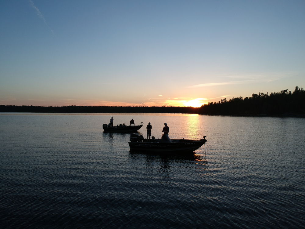
The Buoys on Lake of The Woods help ensure your safety – and they can also help you find and catch more fish!

One of the reasons fishing is so exceptional on Lake of the Woods is its natural underwater landscape.
The lake features rock formations and reefs that provide excellent fish habitat.
Some of these features sit closer to the surface and may be located away from shore, which is why navigating with awareness is helpful.
Thankfully, these areas are clearly marked using a well-established buoy system.
Once you understand how the buoys work, moving around the lake becomes straightforward and stress-free.

Why Thoughtful Navigation Matters
Boating with care helps ensure a smooth and comfortable ride for everyone on board.
Unexpected shallow areas can occasionally cause a quick stop, which can feel uncomfortable for passengers and can lead to avoidable wear on equipment.
Following marked routes helps protect your boat, your family, and your vacation experience.
What Are Lake of the Woods Buoys?
Lake of the Woods uses a clear buoy system — similar to road signs — to guide boaters through open water and around shallow areas.
These markers are there to support you, making navigation simple even for first-time visitors.

Reading the Water: Your “Road Signs”

Why Does Direction Matter for Buoy Navigation?
While new real-time wave buoys have been deployed recently to provide live data on waves, wind, and temperature, our protected network of islands (big green arrow) are influenced by a different flow of water as you’ll see below.

Knowing whether you are traveling upstream or downstream makes buoy navigation simple.

Once you know your direction, buoy rules like “Red Right Returning” become easy to follow.
“Red Right Returning” Explained
This rule means keep red buoys on your right when returning from the lake to port (e.g., via Rainy River or Lighthouse Gap); reverse it outbound—red left, green right.
Direction is determined by the main channel’s flow: “returning” heads downstream toward safer harbor waters, critical in our area where buoys guide through shallows.
.

Buoy Types Comparison Table
| Buoy Type | Color/Shape | Purpose | Keep When Returning |
|---|---|---|---|
| Starboard Hand | Red, conical | Right side of channel | Right |
| Port Hand | Green, cylindrical | Left side of channel | Left |
| Hazard | Orange square | Shoals, reefs, obstructions | Avoid |
| Cardinal | Yellow triangle | Safe direction (N/S/E/W) | As arrow directs |
Where Can Local Guides Enhance Your Trip?
If you’d like to make the most of your time on the water, spending a day with one of our local guides is a wonderful way to settle in and explore with ease.
Many guests choose a guided day early in their stay—it’s a great way to learn the area, pick up local tips, and feel comfortable navigating the lake for the rest of their trip.
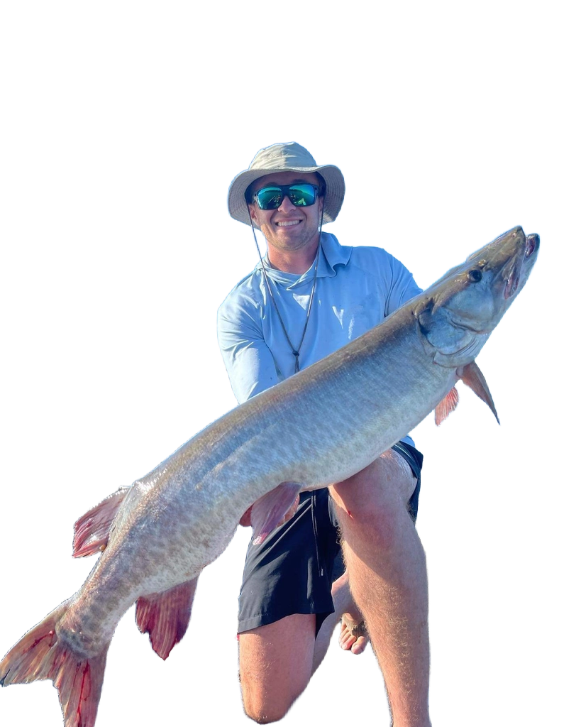
Local guides on Lake of The Woods teach buoy reading, hotspots, and tips for walleye/musky amid reefs, ideal for confidence-building before solo trips in the island-rich south west.

• Hours: 8:00 am – 4:00 pm
• Included: Fish cleaning and freezing services (no mess, no hassle)
• Guest Favorite: Ask about the shore lunch option—freshly prepared on an island and often remembered as a highlight of the trip.
Helpful Resources
If you’re curious to learn more about how buoy systems work, these resources offer clear and easy-to-follow explanations:
This short video from the Canadian Coast Guard provides a simple visual overview of the navigation markers used on Canadian water ways.
- Canadian Coast Guard – Aids to Navigation System
- Boater Exam – Understanding Canadian Waterway Buoys
- Drive a Boat Canada – Types of Buoy
(Many guests find the buoy system intuitive once they’re on the water.)
Images from the Safe Boating Guide
Extra Safety Resources
➜ The Canadian aids to navigation system.
Buoy Types and Meanings
Lake of the Woods follows Canada’s lateral buoy system, using red (starboard hand) and green (port hand) buoys to mark channels, plus orange hazard buoys for rocks, shoals, and reefs common in the southwest area.
White buoys may designate swimming zones, while cardinal buoys (yellow triangles) indicate safe directions relative to north, south, east, or west. [canada]
Private buoys must meet Transport Canada standards (e.g., 15 cm wide, 30 cm high, rigid plastic) but are secondary to official Coast Guard markers.
Official Canadian Aids to Navigation guide (updated 2023) details all markers; Coast Guard isn’t obligated inland but maintains key ones.
➜ Free charts via CHS or Navionics apps cover Lake of the Woods hazards.[publications.gc]
Lake-Specific Navigation Tips
Use official charts for exact positions, as buoy spots are approximate; combine with reduced speed and situational awareness.
➜ [publications.gc]


Leave a Reply